Drones 🚁 ❤️ RoboSat 🤖 #6
Description
Drones 🚁 ❤️ RoboSat 🤖
RoboSat
An end-to-end pipeline written in Python 3 for feature extraction from aerial and satellite imagery. Features can be anything visually distinguishable in the imagery.
At its core RoboSat is using state of the art fully convolutional neural network architectures for semantic segmentation.
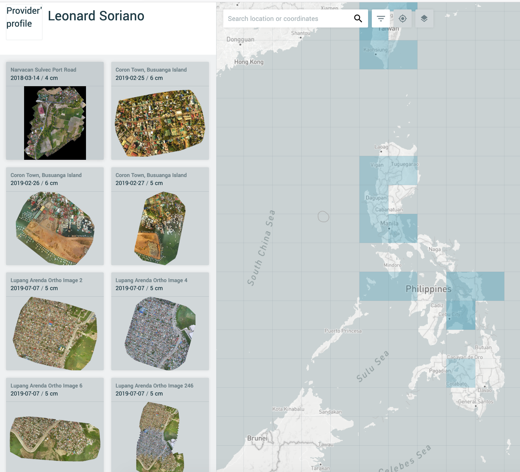
Drones at OpenAerialMap
Data prep
Positive and negative training data

Diversifying training data sources
| Arteche, Eastern Samar | Bacong River, Culasi, Antique | Narvacan Sulvec Port Road | Sugarcane LAREC Mill District, Pampanga |
|---|---|---|---|
 |
 |
 |
 |
| 2014-12-01 4 cm Unknown sensor |
2017-05-24 3 cm DJI Mavic Pro |
2018-03-14 4 cm DJI Phantom 4 |
2017-03-30 5 cm EB Sensefly |
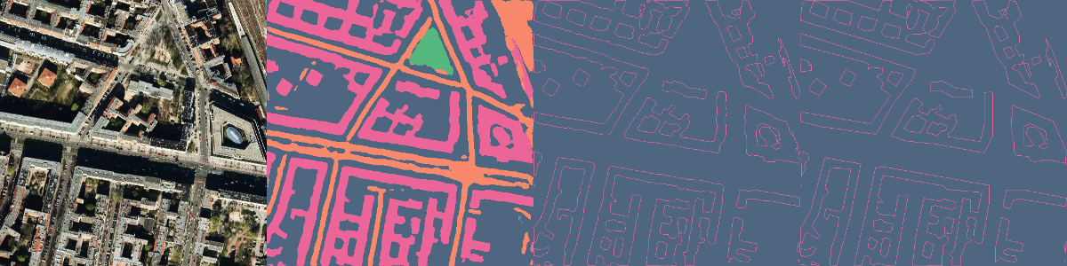
Training the model

| image | prediction by epoch |
|---|---|
 |
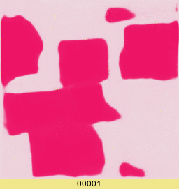 |
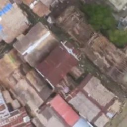
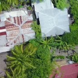
Running the prediction
https://maning.github.io/robosat-viz/can-avid.html
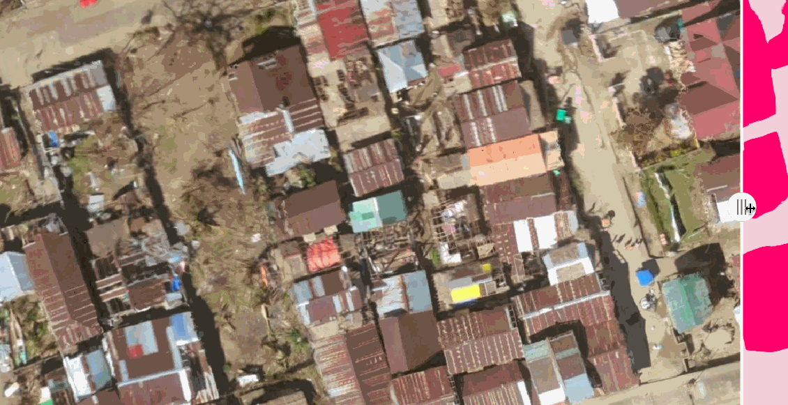
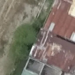
Good detection. Most buildings were detected by the model. Adjacent buildings with no visible separation tend to be detected as one contiguous shape.
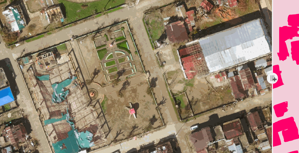
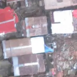
Bad detection of shape. Damaged buildings due to typhoon were detected but the shape is not very well defined.
See also
- https://www.openstreetmap.org/user/maning/diary/44462
- https://github.com/maning/robosat-viz
- https://github.com/mapbox/robosat
Meta
- A lightning talk presented to Pista ng Mapa 2019